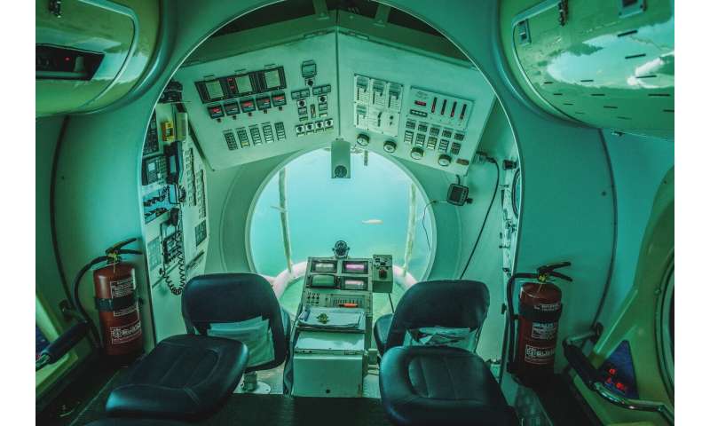
Mathematical algorithms and software developed for precise catching of underwater objects.

Scientists of Far Eastern Federal University (FEFU, Vladivostok, Russia) together with colleagues from Harbin University of Engineering (China) have developed numerical methods and software for reducing errors in sonar communication gear to more accurate positioning of underwater objects, data transmission, searching for useful fossil, and sunken objects. Sonar communication is an essential part of the Arctic and Antarctic development strategy. A related article appears in IEEE Access.
A Russian-Chinese scientific team has developed mathematical models and software that in a real-time mode eliminates errors of sonar systems allowing one to obtain accurate data on the spatial coordinates of underwater objects.
The software is compatible with already existing sonar platforms (positioning platforms) of underwater vehicles. It improves vehicles navigation and interaction in the group, helping to determine their position to each other more accurately. The software deployment will speed up various types of search operations.
"Thanks to our methods one is able to control the position of underwater objects not in four degrees of freedom, but in six. The software takes into account not only planar, but also angular motions. Most importantly, we can install the software module on existing and worldwide-used platforms designed for the calculation of spatial coordinates in four degrees of freedom. Our mathematical algorithms recalculate that coordinates in six degrees of freedom. Thus, our system does not require a new technological base, which makes its application simple and cost-effective", said Professor Vladimir Korochentsev, Head of Instrumentation Department in Far Eastern Federal University Engineering School, one of the program's developers.
The tests of the modified sonar communication system in an artificial environment (a special indoor pool) showed just 2-3 percent inaccuracy in the positioning of the underwater in six degrees of freedom. Traditionally, due to different external factors, for sonar systems, tens of percent approximation is considered acceptable.
The Russian-Chinese scientific team gained success via mathematical modeling and methods of mathematical control (Monte Carlo method). The algorithms level out the errors of the sensors and recalculate four degrees of freedom into six through the angles of Eller, which describe the rotation of a three-dimensional body in Euclidean space.
Vladimir Korochentsev specified that in the real marine environment water has different characteristics at different depths and the accuracy will most likely be not such sharp. However, it will still be more accurate due to positioning in six degrees of freedom.
Scientists plan to start international trials of an improved sonar communication system in summer 2020, however, with an eye to the epidemiological situation associated with the SARS-COV-2 virus, which provokes COVID-2019 disease.
More information:
Jianjun Zhu et al. Metering Method and Measurement Uncertainty Evaluation of Underwater Positioning System in Six Degrees of Freedom Space, IEEE Access (2020). DOI: 10.1109/ACCESS.2020.2968174
Provided by Far Eastern Federal University