HiForm mapping tool: Research in action alongside state forestry agencies

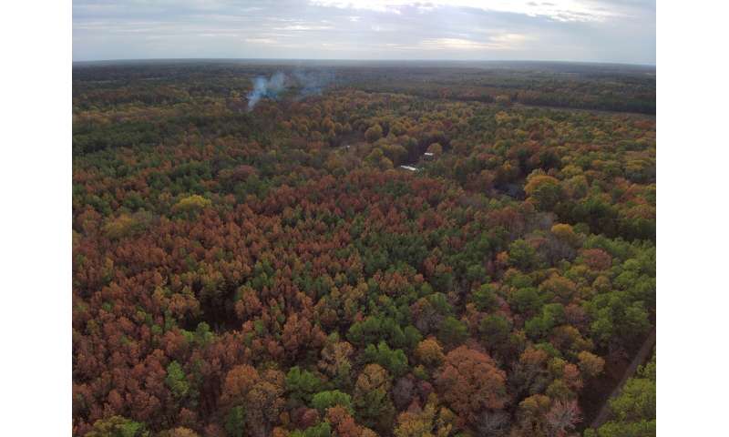
Late last year, the South experienced an extremely hot and sudden drought. When temperatures are high and moisture is low, trees become vulnerable quickly. Across southwest Mississippi and eastern Louisiana, approximately 12 million pine trees began dying. By early winter, 83,000 acres of pines had died. That estimate was derived with "HiForm", an innovative tool developed by the Forest Service for high resolution forest mapping.
HiForm uses satellite data and cloud computing to reveal forest disturbances—insect outbreaks, wildfires, tornadoes, and more—across large areas, at high resolution, and soon after a problem emerges. It was developed by Forest Service researchers Steve Norman and Bill Christie with the Southern Research Station.
The dead trees are scattered across yards, woodlots, parks, planted pine stands, and utility corridors. "Aside from the loss in timber, which is substantial, many of these areas may become safety and wildfire hazards," says Norman.
The HiForm maps will help state agencies and utility companies prioritize areas where dead trees are hazardous and need to be removed.
"We shared the maps with our state legislature in support for other state agencies like the Mississippi Department of Transportation and the Mississippi Department of Emergency Management," says Sean Hodges of the Mississippi Forestry Commission.
Within weeks, congressional audiences and the U.S. Secretary of Agriculture were also aware of the scope of the problem. Pines can be seriously stressed by a hot drought alone, but the lethal blow often comes from beetles that take advantage of their reduced vigor.
"The hot drought was unprecedented and so, seemingly, was the beetle response," says Norman. Ips beetles are thought to have killed many of the pines. Southern pine beetles had already killed some trees earlier in the season. All the beetles are native to the U.S., but the threat posed by the Ips is less well understood.
Since 2016, HiForm has mapped disturbances using observed changes in satellite data. The researchers calculate a Normalized Difference Vegetation Index, or NDVI, from the European Space Agency's Sentinel-2 satellites, which produce new imagery every five days.
"HiForm is revolutionizing the way we monitor forests," says Norman. "These technologies let us track forest health throughout the year and capture sudden disturbances in near-real-time."
Provided by USDA Forest Service